Channel

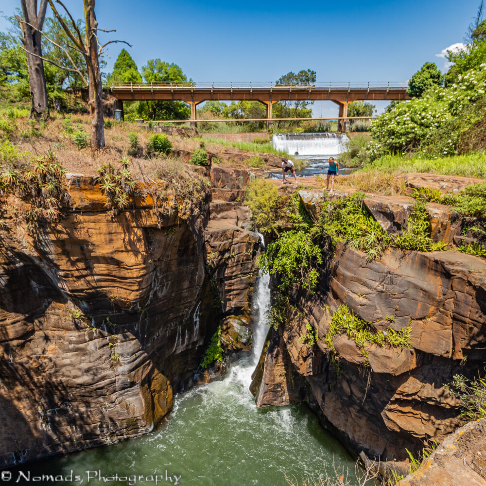
The Sabie Falls are found at the start of the spectacular Panorama Route. The Panorama Route then travels further north up to the Blyde River Canon. The Sabie Falls are a short walk from the parking lot with a number of different viewing areas. Beautiful all year round, the falls are surrounded by steep cliffs and lush vegetation.
Swirl

Swirl

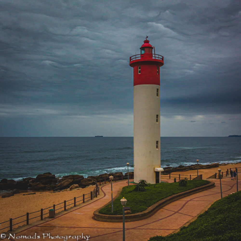
The Umhlanga Lighthouse is fully automated though its form is hand captured by local artists whose works are sold to foreigners chartering international waters with framed fragile portraits of this sturdy structure. Mistress of memorabilia and master of light since 1954, this 21m high circular concrete tower has a light range of 24 sea miles at a focal plane height of 25 meters above high sea level. It has never been attended by a lighthouse keeper with the official warden residing at the adjacent original beach cottage of the area, now the Oyster Beach Hotel.

Distant

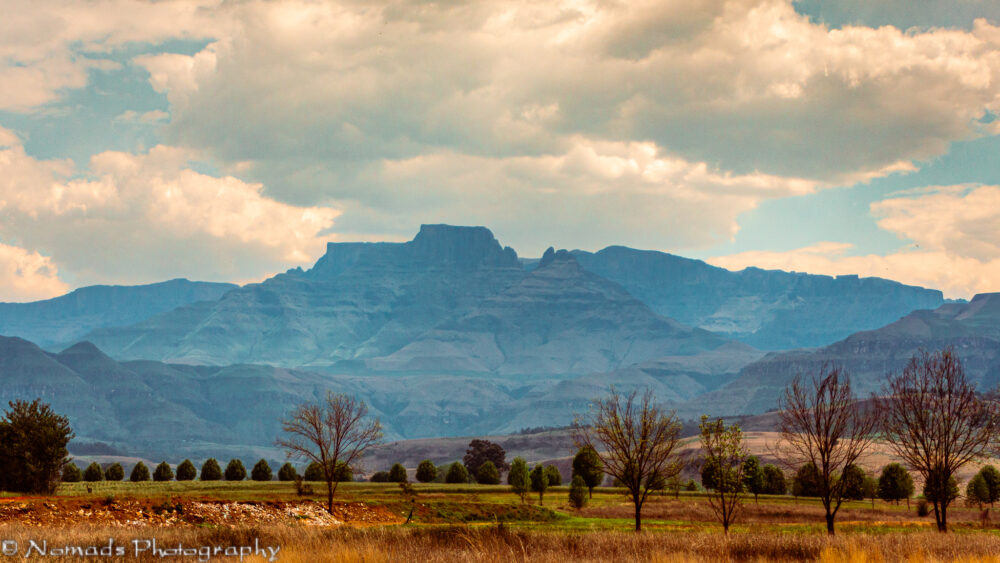
The Drakensberg escarpment stretches for more than 1,000 kilometres (600 miles) from the Eastern Cape Province in the South, then successively forms, in order from south to north, the border between Lesotho and the Eastern Cape and the border between Lesotho and KwaZulu-Natal Province. Thereafter it forms the border between KwaZulu-Natal and the Free State, and next as the border between KwaZulu-Natal and Mpumalanga Province. The escarpment winds north from there, through Mpumalanga, where it includes features such as the Blyde River Canyon, Three Rondavels, and God’s Window. It then extends farther north to Hoedspruit in southeastern Limpopo where it is known as ‘Klein Drakensberg’ by the Afrikaner. From Hoedspruit it extends west to Tzaneen, also in Limpopo Province, where it is known as the Wolkberg Mountains and Iron Crown Mountain. The escarpment extends west again and at Mokopane it is known as the Strydpoort Mountains.